It has been a long time I wanted to go back climb the Sillajuay, better known under the name of Alto Toroni, a volcano at 6002 meters above sea level. It is the 13th summit above 6000 m in Bolivia. I had the opportunity to go there in 2012, but it was quick. Since then, I had an uncompleted feeling and wanted to take the time to explore this gigantic mountain range. The latter forms a huge open crater, snow-covered all year round on its multiple summits and summit edges. From far away, it is imposing and impressive. We wonder where is located the real summit and realize it constitute several valleys interlinked, a multitude of edges and summits.
This time we went with Hugo before the dry season, at the very beginning of March. The good side of the Lipez region is that the climate is much more clement there even when it rains in La Paz. Apart from a violent storm when we arrived to Uyuni Salt flats, we had a lot of luck with the weather and particularly for the ascent.
A COLORFUL APPROACH ...
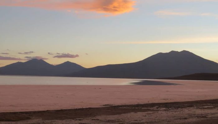
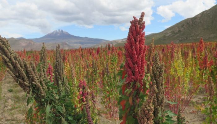
That was a great surprise for me, I had never had the chance to see the Salt Flats flooded yet … despite the fact we were about to crash our 4WD on the Salt flats, by following the GPS instructions … Otherwise the landscapes were astonishing, unique, breathtaking, a real nature magic, a patchwork of color. Quinoa fields were flamboyant, red, yellow, green, as far as the eye can see, emerging volcanoes from those colored fields. I was amazed by such beauty. The flooded salt flat magic was a big moment as well. From time to time, it was forming waves on the water, reminding you of an immense lake. I would forever remember this diner at the Tahua salt hotel, with an amazing sunset on the salt «lake» …
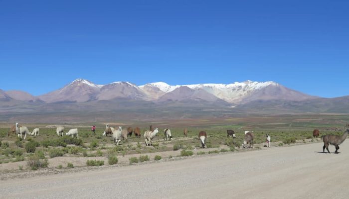
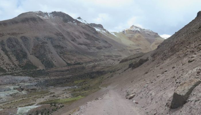
We managed to reach the village of Llica, with quite some difficulties. Indeed, the Salt flats being flooded, we had to go along the edge of the «lake» through really bad roads, so it took us twice the time. The village of Llica is small, but we found there a place to sleep. The day after, we reached the villages at the foot of the volcano. We crossed very wild landscapes, salt flats, sand, “ichu”, “yareta” and lamas … and as always in the background, the wonderful mountain of the Alto Toroni. Fortunately, we had planned an extra day … the road we took in 2012, connecting the village of Bela Vista to the mine, was completely out of use. We had to speak with villagers, retrace our steps, after being lost in the maze of Quinoa fields, leave to another village, Belen, and find another way climbing to the mine. And despite the farmers instructions in the fields, we did a lot of detours and turn around. In some places, the path totally disappeared, swept away by torrential waters of the rainy season and we had to make our way through the fields. Finally, we arrived at the mine camp in the beginning of the afternoon. The camp seemed abandoned, just like a small ghost village. There was not a soul in sight. We followed then to the top of the passable path. Good surprise, this one was in good conditions. We could climb up to 5300 meters a.s.l. The snow didn’t allow us to get to the four last zigzags.
I was so happy to have been able to reach the mountain foot. I was really scared not being able to get there by car and have come for nothing.
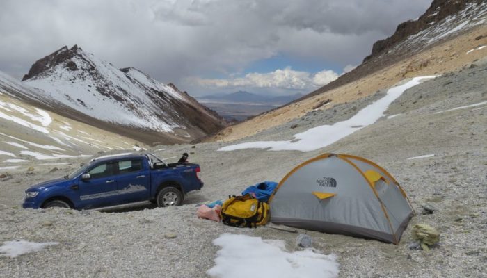
We established our little camp at the edge of the path. We had the feeling the summit was very close to us. But, I remembered well, there was a first summit and behind it, we had to go back down to ascent a second summit. Hugo was sceptic and in my mind, it was a bit blurred, I had difficulties to remember the mountain configuration.
ASKING PERMISSION TO THE PACHAMAMA BEFORE STARTING THE ADVENTURE!
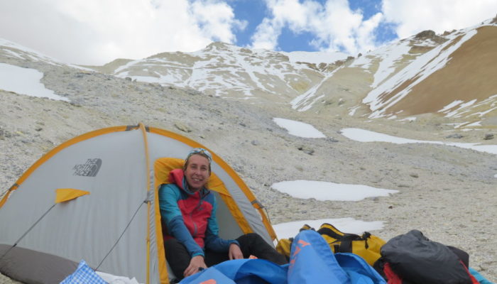
We installed our little assault tent, ideal for minor explorations. We had the whole afternoon free, managed to get some rest, have something to eat, get back some strengths for the day after. I prepared as usual a small « offering aperitif».
After finishing the famous offering to the Pachamama to ask for the mountain goodwill, we tried to have some sleep. My first night of the year at 5300m a.s.l. remembered me how difficult it is to sleep in altitude. I did some tachycardia and anxiety. Finally, it was a short night and we almost wanted to move forward the alarm. But, as we didn’t know really well what was awaiting us, we woke up at 3:30 AM.
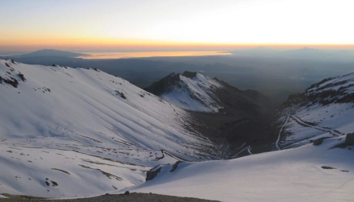
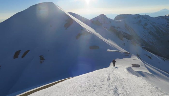
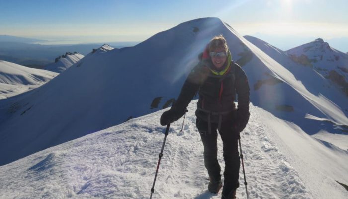
The ascent was not that difficult. We joined the crests and were progressing well. It is always a little hard to start after several months without climbing mountains. I always have this feeling that it becomes harder and harder to climb up in altitude, I always curse the passing years, but finally, I just need to heat up the engine and find my rhythm. Slopes were alternating, sometimes easy and soft, sometimes steeper, but we were progressing and the day started to rise, my favorite time, the sun will warm us up soon ! I particularly love that very moment … it is just happiness !
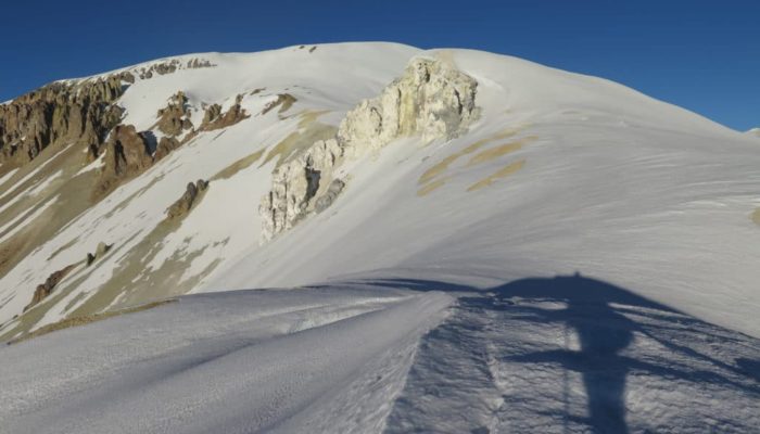
At that point I remembered the configuration of those crests, we passed a little rocky spur just before arriving to this famous first summit. There was a moment I thought I made a mistake and there weren’t two summits. I told myself, wooow, we already arrived, we just started walking two hours ago, we went up like arrows ! So cool ! But no, once under the summit, we saw what was awaiting us behind, and then I was remembering very well.
EXPLORATION TO THE REAL SUMMIT THIS TIME !
We arrived at a junction between 2 valleys. We had indeed to go down for about a hundred meters of elevation to join the other valley, to climb up again straight to the real summit, much further. The summit isn’t really technical, but it was a good distance, and still, the real summit was even much further we could imagine at this moment. We will need 2 more hours and a half to reach it.
Hugo made me pass under the first summit to avoid having to go up and then down again. One advantage to be roped to each other safely.
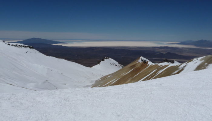
Anyway, the view we had during the sunset was just amazing. The two Salt flats were twinkling, on our left the Coipasa Salt flats and on our right the immensity of the Uyuni Salt flats. Colors were really beautiful.
We continued our ascent on the crests which were leading us to a kind of glacial plateau at 5800m a.s.l. We lost then some time. There was a kind of rocky spur before us. Hugo preferred go on the left, which involved going back down a little at the rocks level to go up again, as he was afraid a precipice could be on the right. So we lost approximately half an hour to reach the plateau. We will realize during the descent that we could passed very easily by the other side, so at least we will avoid doing the same mistake on the way back !
From there, the summit seemed really close, but the road was still long. It felt like we were never going to end the climbing, of course on a soft slope, but the real summit was still far.
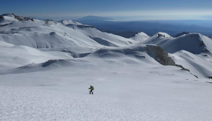
The more we were progressing, the more beautiful the landscapes were. We could see snowy valleys that were interlocking. The one on the right from which we came was finishing with a pic, and the one on which we progressing all covered in snow until the bottom, and some more valleys and crests on the left. That was just amazing and splendid … still in the background, the shining salt flats.
SPLENDID AND MAGICAL ... A REAL MUST DO !
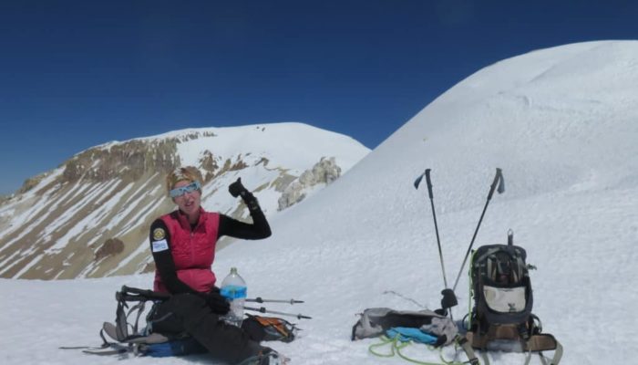
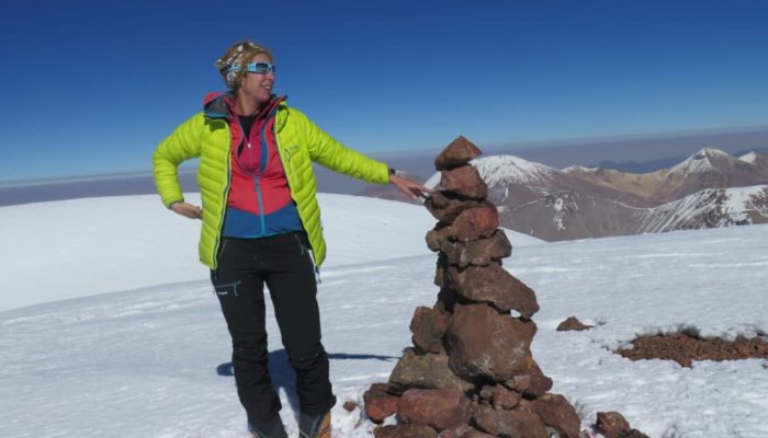
We continued the long walk to the real summit, a cairn was sitting at the top. Wooow, what a joy and what a view ! I had forgotten how beautiful it was, that is really a summit to do! GPS did not agree on the summit altitude … Maybe you won’t have the chance to see written the so awaited «6000» on your GPS, but who cares … surrounded by so much beauty !!!!! I believe I made peace with volcanoes.
